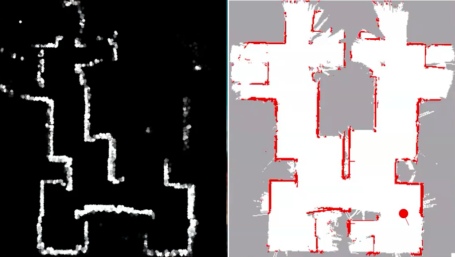
The easiest way for a robot to map its environment is using an occupancy grid. As the robot moves through its environment, the readings returned from its laser range finder (LRF) at different angles around it are marked off on a map. As a spot is marked more than once, its probability increases. This simulation shows the creation of an occupancy grid map. However, in the real world, odometry is not perfect and the robot’s position (as estimated by odometry) drifts from its real position, resulting in a skewed map. Hence, the requirement for a loop-closing technique like SLAM (Simultaneous Localization & Mapping) that corrects for this error when the robot doubles back on itself and visits a previously known location.
See the simulation here:

